|
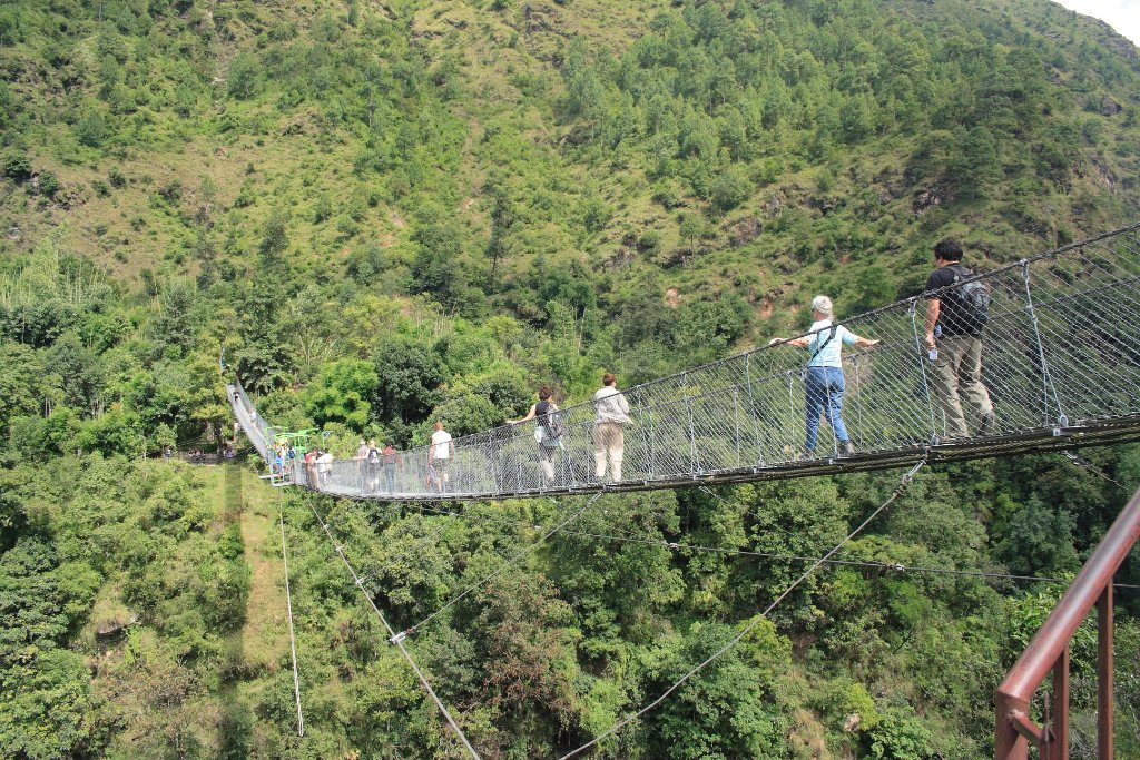 |
| At the bungee jump | |
| Latitude: N 27°52'33,06" | Longitude: E 85°53'33,34" | Altitude: 1192 metres | Location: Tyanthaly | State/Province: Madhyamanchal | Country: Nepal | Copyright: Ron Harkink | See map | |
| Total images: 15 | Help | |
|
|
|
| At the bungee jump | |
| Latitude: N 27°52'33,06" | Longitude: E 85°53'33,34" | Altitude: 1192 metres | Location: Tyanthaly | State/Province: Madhyamanchal | Country: Nepal | Copyright: Ron Harkink | See map | |
| Total images: 15 | Help | |